

Tom Longs Meadow
Selected Wild Place / Other Wild Places / Public Rights of Way / VC55 boundary
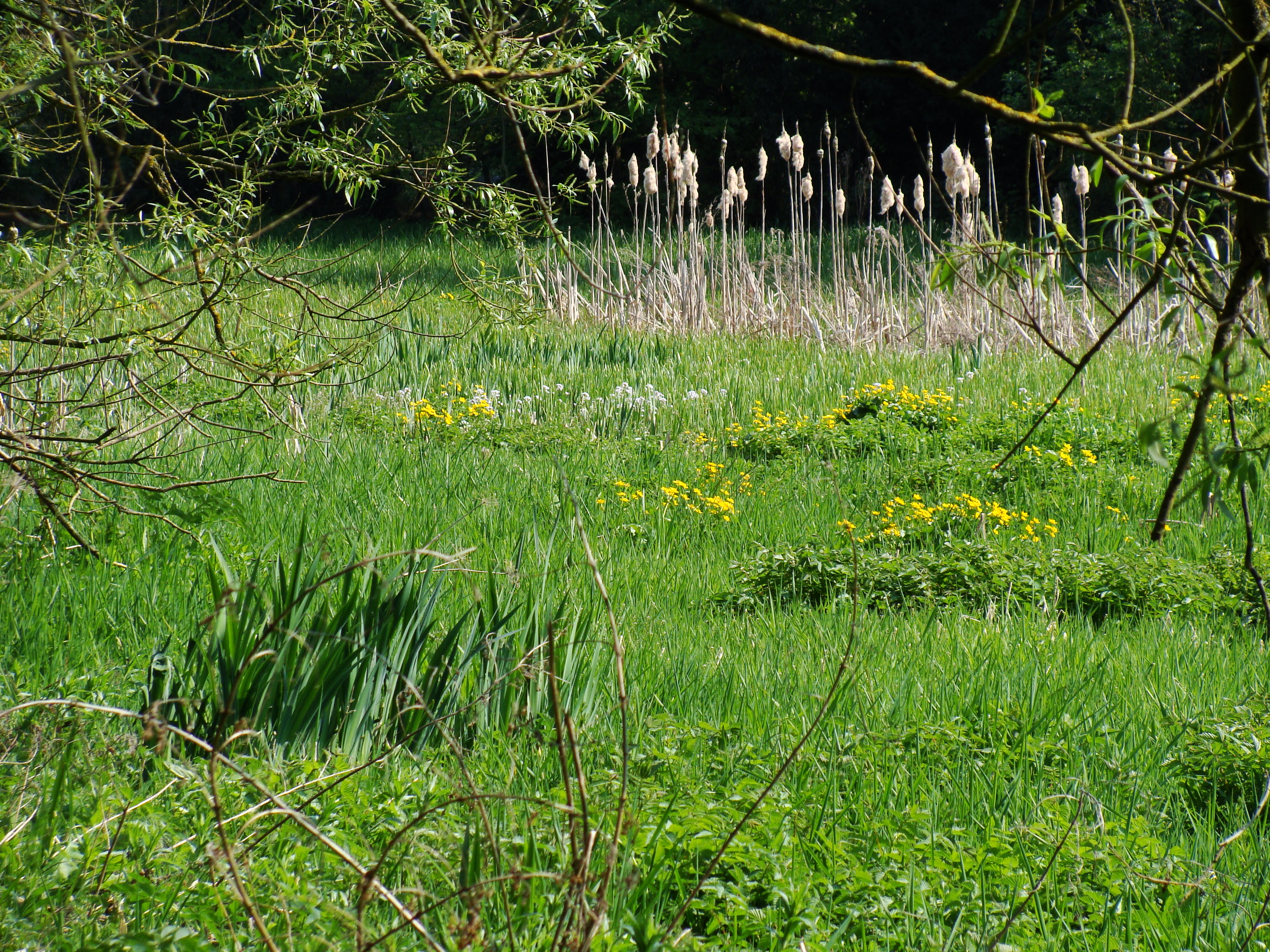
Tom Long's Meadow is a designated Local Nature Reserve comprised of a narrow riparian strip, extending from near to Woodhouse Road in the north-west to near Meeting Street in the south-east. The greatest width of the land is 75 metres and the length of the site is approximately 600 metres, covering approximately 2.8 hectares/7 acres. Tom Long’s Meadow is an ecological mosaic including a wet woodland, a wet meadow and floodland.
Site species count:
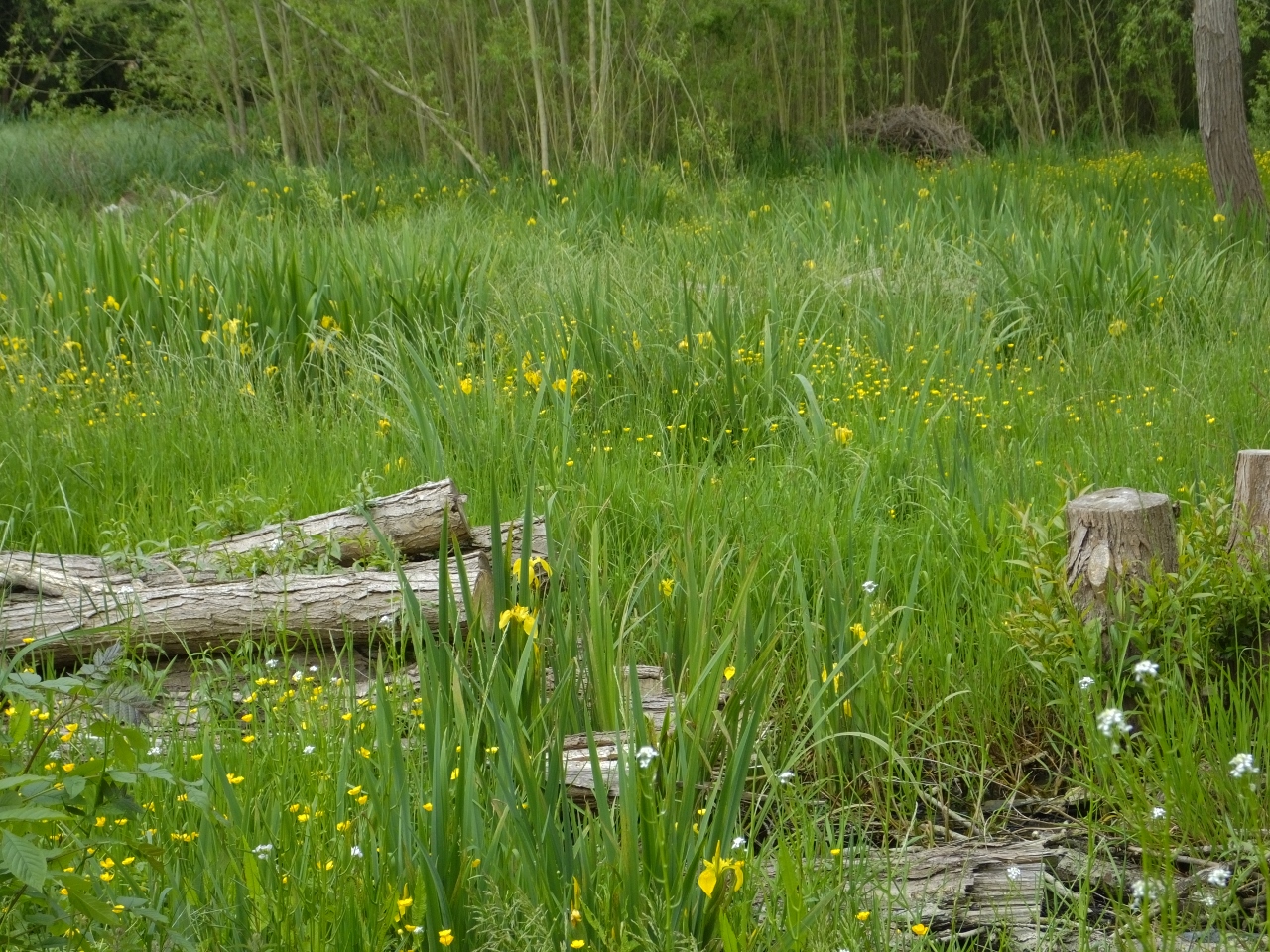
Previously known as Cradock's Meadow, Tom Long's Meadow is a narrow strip of marsh and wet woodland in the heart of Quorn. The site has grown significantly wetter in recent years due to an increase in building developments nearby, and is now predominantly home to riparian species and wet woodland habitat. It serves as part of a vital wildlife corridor through this area of Charnwood and in proximity to the River Soar. The site is bordered on one side by the Poulteney Brook.
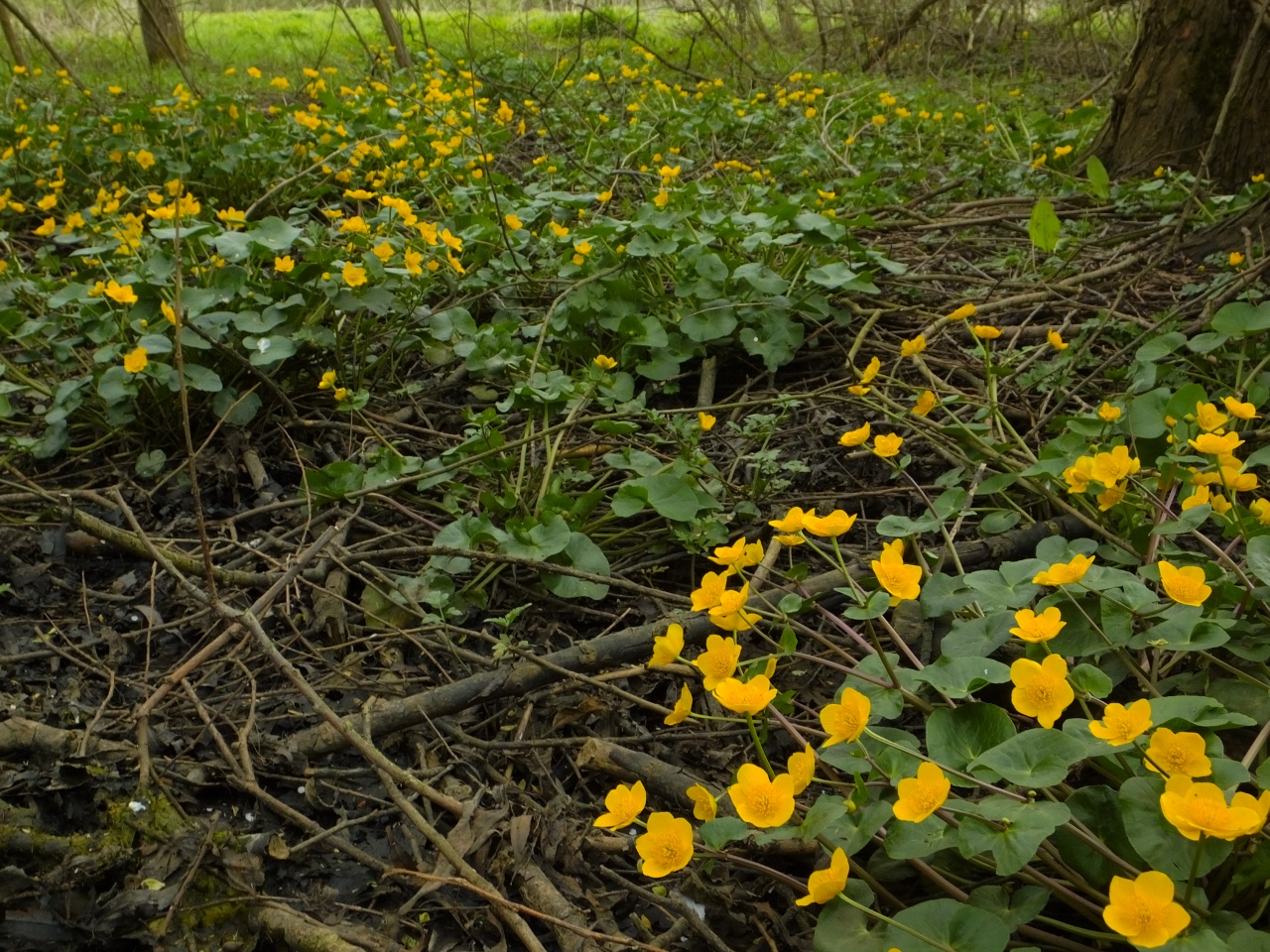
Although the majority of the site is wet woodland, several wildflower species of note can still be seen including the Yellow Flag Iris and Marsh Marigold. Several species of dragonfly have been sighted, and the area has previously been considered a prolific breeding site for common frogs (though this has lesssened in recent years).
The records and images below may include those from adjacent sites if the grid reference submitted with these records overlaps the boundary of this Wild Place.
The latest images and records displayed below include those awaiting verification checks so we cannot guarantee that every identification is correct. Once accepted, the record displays a green tick.
In the Latest Records section, click on the header to sort A-Z, and again to sort Z-A. Use the header boxes to filter the list.