

Swannington Dismantled Railway
Selected Wild Place / Other Wild Places / Public Rights of Way / VC55 boundary
The Swannington Incline is well-sign posted using the brown signs off the A500 Leicester to Coalville by-pass north of Coalville. There is limited parking available on Spring Lane and Foan Hill and public footpaths provide access onto both. Note, there is no longer public access directly to the north section of the site off Foan Hill.
Private with Permissive Footpaths
Site species count:
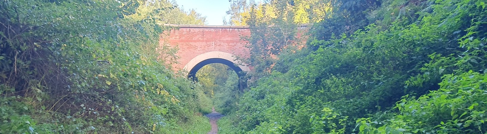
The Incline was constructed in 1832 as part of the Leicester to Swannington Railway which helped transport coal and passengers to Leicester from Swannington and the surrounding villages and mining pits. It was built to overcome the steep slope formed by the Thringstone Fault where land dropped away sharply on a 1:17 slope for about 700m. A coal powered steam engine at the top of the Incline operated a cable to transport the coal trucks up and down the slope. The Midlands Railway too over the line in 1845 and extended it to Burton-on-Trent. This newly aligned track avoided the Incline and crated a new station in Swannington village.
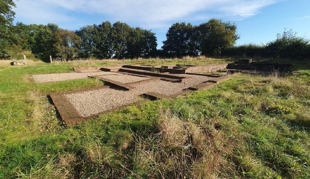
Despite its short operational usage, part of the track has been restored and is still visible at Spring Lane and runs alongside a wider grass path enclosed by two hedgerows. The foundations of the pumphouse are still present and surrounded by herb-rich grassland before the pathway descends into the Incline.
The Incline is cut into the fault-line and this has exposed its geology. This area is largely shaded and damp. It supports Hart’s-tongue and other ferns, a mix of grasses and scrub, and is crowned by Ash and Sycamore that provide a natural canopy between the two banks in sharp contrast to the sunnier, open tracks to the south.
The records and images below may include those from adjacent sites if the grid reference submitted with these records overlaps the boundary of this Wild Place.
The latest images and records displayed below include those awaiting verification checks so we cannot guarantee that every identification is correct. Once accepted, the record displays a green tick.
In the Latest Records section, click on the header to sort A-Z, and again to sort Z-A. Use the header boxes to filter the list.