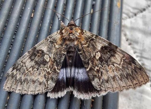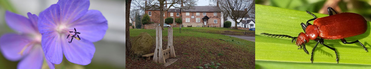
Welcome to Grimston NatureSpot
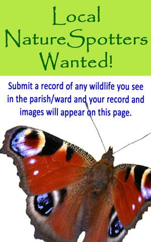
This page features the wildlife and wild places of Grimston parish. The 'Species' tab lists all the wildlife - plants, animals and fungi - recorded here. We would love you to contribute by recording any wildlife that you spot - your records and any images will be automatically added to this page. Scroll down to see the latest records and images.