

Welcome to Mountsorrel
Welcome to the Mountsorrel NatureSpot page which gives local residents the opportunity to find out about, and contribute to, our knowledge of the wildlife in the parish. Just click on the headers of these stories to read more.

Selected parish/ward / Wild Places / Footpaths / Parish/ward boundaries
To find out more about local Wild Places (red boundaries on the map), visit the Wild Places page. Contact NatureSpot if you have an idea for any additional Wild Places.
Mountsorrel lies along the Soar Valley to the north of Leicester and part of Charnwood District. The River Soar lies to the east of the village and is surrounded by a steep hill which once supported a castle, built in 1080. The area is built on granite and quarrying for this rock continues to this day.
There are many areas of significant wildlife interest. The River Soar and Grand Union Canal, together with the surrounding flood plain is an important habitat, with part of this area a nature reserve managed by the Leicestershire Wildlife Trust. The castle mound also supports many interesting wildflowers.
Mountsorrel has joined the verge biodiversity project and is working with NatureSpot and the County Council to improve the verge on Granite Way. This verge will be left unmown during the summer and will be surveyed to identify the wildflowers found there. Read more on the verge Wild Place - see the link above.
Parish/ward species count:
Thanks to the following for supporting this page:
![]()
Welcome to the Mountsorrel NatureSpot page which gives local residents the opportunity to find out about, and contribute to, our knowledge of the wildlife in the parish. Just click on the headers of these stories to read more.
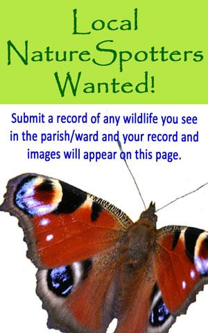
We need more wildlife observations from around Mountsorrel. So, if you've seen a species you recognise, from a Blue tit to a Bluebell, click on the header to find out what to do.

The attractive Brassica Shieldbug is one of several shieldbugs that can be found around Leicestershire - named after their shape. This species has several colour forms, with green, red and cream variants all found here. This photograph was taken in the parish along Granite Way.
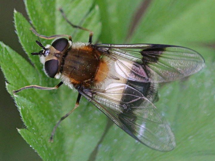
The images and records below are all from the parish/ward and have been submitted by members of the public.
The latest images and records displayed below include those awaiting verification checks so we cannot guarantee that every identification is correct. Once accepted, the record displays a green tick.
In the Latest Records section, click on the header to sort A-Z, and again to sort Z-A. Use the header boxes to filter the list.