

Tolethorpe Mill Roadside Verge
Selected Wild Place / Other Wild Places / Public Rights of Way / VC55 boundary
From the A1, exit eastwards onto the Old Great North Road, and turn left onto Ryhall Road in Great Casterton. The site begins at the end of the new tree plantation patches, and continues right at the fork onto Salters Lane, ending at the bridge over the river.
There is no bus service to this area.
- Road Verge
- Local Wildlife Site
Site species count:
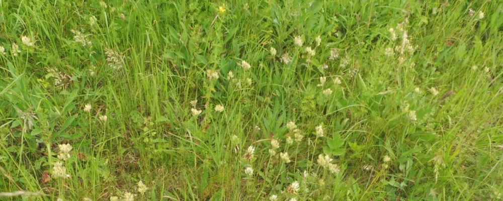
Designated a Local Wildlife Site in 2011, Tolethorpe Mill verge is located on Ryhall Road and Salters Lane, to the north of Little Casterton. The site is 1,067 metres in length and approximately 1.5 metres wide. The main habitats are calcareous and mixed grassland.
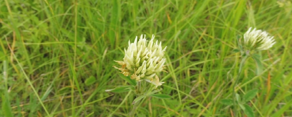
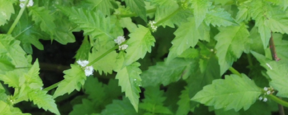
Recorded species include: Agrimony, Greater Knapweed, Restharrow, Knapweed Broomrape, Burnet-saxifrage, Hoary Plantain, Salad Burnet, Small Scabious, Lady’s Bedstraw, Common Bird’s-foot Trefoil, and Cowslip.
The records and images below may include those from adjacent sites if the grid reference submitted with these records overlaps the boundary of this Wild Place.
The latest images and records displayed below include those awaiting verification checks so we cannot guarantee that every identification is correct. Once accepted, the record displays a green tick.
In the Latest Records section, click on the header to sort A-Z, and again to sort Z-A. Use the header boxes to filter the list.