

Empingham Old Wood Road Verge
Selected Wild Place / Other Wild Places / Public Rights of Way / VC55 boundary
The site is located on the stretch of road that passes Empingham Old Wood, to the north east of Empingham, close to the A1. It lies between the Grantham Lane junction and the Loves Lane junction.
From the A1, exit onto Grantham Lane, and turn right at the Empingham Road crossroads.
It may be possible to park by the verge, but please be mindful of traffic and private land. Alternatively, roadside parking is available in Empingham village, a 20-30 minute walk away.
The nearest bus stops are in Empingham. More information can be found here:
https://bustimes.org/localities/empingham
- Road Verge
- Local Wildlife Site
RNHS verge number 4 (both sides)
Site species count:
Designated a Local Wildlife Site in 2003, the verge includes both sides of the road. The verges are around 1 km in length and comprised of both mesotrophic and calcareous grassland. In 2006, the site was judged to be well-managed and very species diverse.
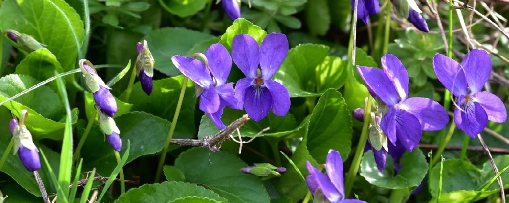
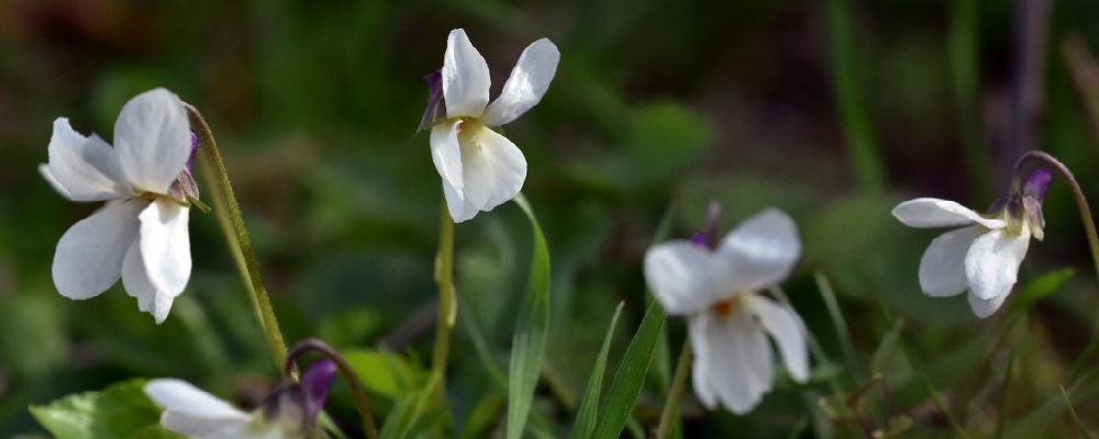
Recently recorded species include: Black Knapweed, Meadowsweet, Field Scabious, Autumn Hawkbit, Rough Hawkbit, Burnet Saxifrage, Common Sorrel, Pepper Saxifrage, Hoary Plantain, and Salad Burnet.
A survey in 1992 recorded Knapweed Broomrape, Clustered Bellflower and Wild Basil.
The records and images below may include those from adjacent sites if the grid reference submitted with these records overlaps the boundary of this Wild Place.
The latest images and records displayed below include those awaiting verification checks so we cannot guarantee that every identification is correct. Once accepted, the record displays a green tick.
In the Latest Records section, click on the header to sort A-Z, and again to sort Z-A. Use the header boxes to filter the list.