

Welcome to Saffron
Welcome to the Saffron NatureSpot page which gives local residents the opportunity to find out about, and contribute to, our knowledge of the wildlife in the area. Just click on the headers of these stories to read more.
Selected parish/ward / Wild Places / Footpaths / Parish/ward boundaries
To find out more about local Wild Places (red boundaries on the map), visit the Wild Places page. Contact NatureSpot if you have an idea for any additional Wild Places.
Saffron lies to the south of Leicester city centre, with the River Soar and Aylestone to the west and Knighton to the east. The most notable green open space in the ward is St Mary's former allotments, now managed for nature by Leicester City Council. The Saffron (Wash) Brook runs alongside this site.
Parish/ward species count:
![]()
Welcome to the Saffron NatureSpot page which gives local residents the opportunity to find out about, and contribute to, our knowledge of the wildlife in the area. Just click on the headers of these stories to read more.
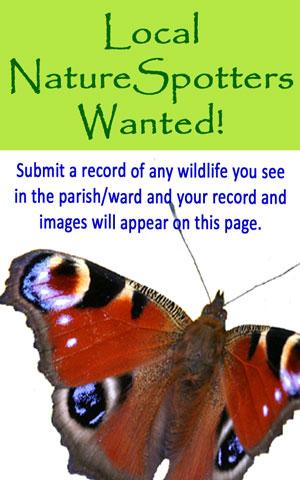
We need more wildlife observations from around Saffron. So, if you've seen a species you recognise, from a Blue tit to a Bluebell, click on the header to find out what to do.
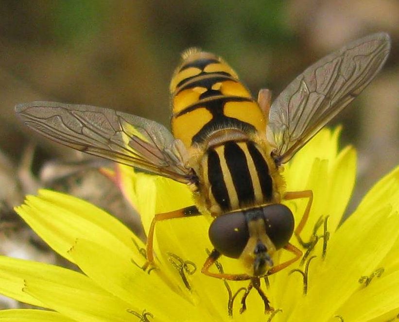
This colourful hoverfly is called The Footballer because of the 'stripy shirt' it wears on its body. It is a common species in Saffron foundaround ponds and other water bodies.
The images and records below are all from the parish/ward and have been submitted by members of the public.
The latest images and records displayed below include those awaiting verification checks so we cannot guarantee that every identification is correct. Once accepted, the record displays a green tick.
In the Latest Records section, click on the header to sort A-Z, and again to sort Z-A. Use the header boxes to filter the list.